Key Takeaways
- A GPS receiver does not need internet access to calculate its location. It uses one-way radio signals from navigation satellites.
- A tracking platform usually needs a separate connection, commonly cellular data, to send that location to a remote app or dashboard.
- When cellular coverage drops, a well-designed tracker may continue calculating and storing locations, then upload them when service returns. This store-and-forward behavior depends on the device.
- Offline GPS loggers record trips locally for later download but do not provide remote live tracking while disconnected.
- GPS reception and data coverage are different. A tracker can have a valid GPS position but no way to report it remotely, or have cellular service but a weak satellite view.
Does a GPS Tracker Need Internet to Work?
No, not for basic positioning. GPS satellites broadcast timing and orbit information, and the receiver uses those radio signals to calculate its position locally. The GPS system itself does not require the tracker to connect to the internet.
Internet or another communications link becomes necessary when someone needs to see that position remotely. Most vehicle and fleet trackers send location data to a server through a cellular connection. The server then makes the information available in a web dashboard or mobile app. A SIM card supports that transmission; it does not determine the GPS position.
This distinction is central to real-time GPS tracking in logistics: satellite signals provide the position, while a communications network carries the data to the people and systems that use it.
Understanding GPS Tracking Technology
A GPS tracker normally combines two separate functions: a satellite-navigation receiver and a way to record or transmit data. According to the official GPS overview, receivers use signals transmitted by GPS satellites to calculate three-dimensional position and time. In practical devices, software can turn successive positions into route history, speed estimates, geofence events, and other tracking information.
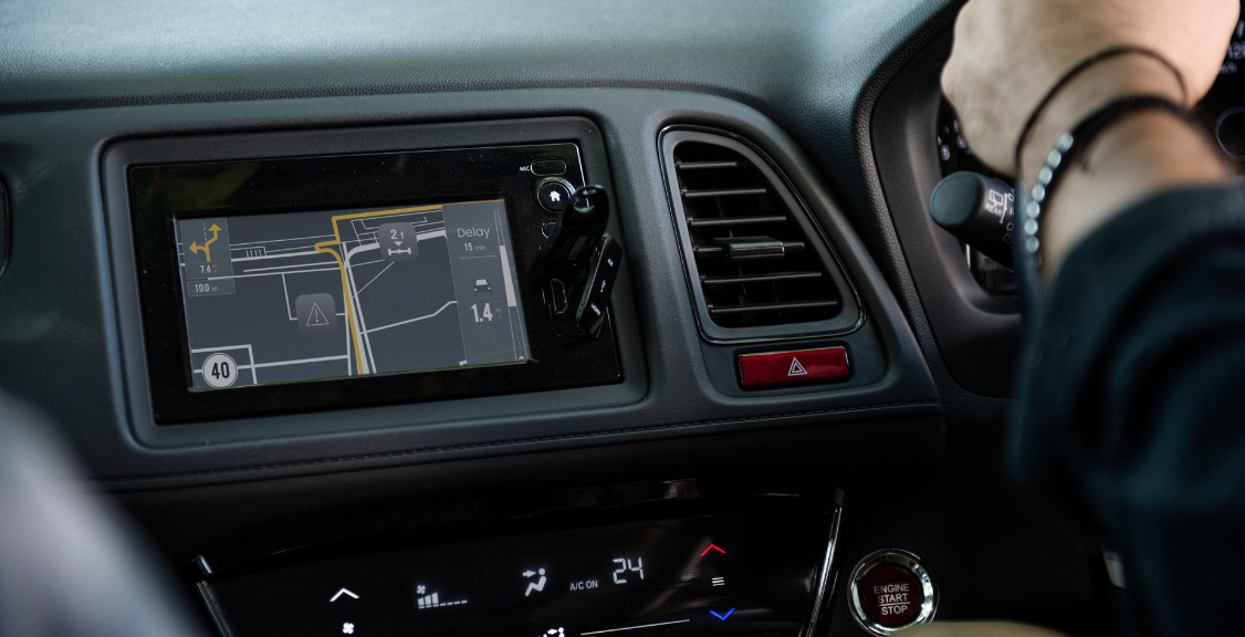
The basic process has three parts:
- Positioning: The receiver listens for satellite signals and calculates its position. Four or more satellites are normally used to solve for latitude, longitude, altitude, and receiver time.
- Recording: The device adds a timestamp and may store coordinates, speed, direction, sensor readings, or vehicle data, depending on the hardware.
- Reporting: A connected tracker sends selected data to a server through cellular, Wi-Fi, satellite, radio, or another supported communications link. An offline logger keeps the data locally until it is retrieved.
GPS does not always produce an exact point. The official GPS accuracy guidance explains that satellite geometry, signal blockage, atmospheric conditions, and receiver quality affect results. Buildings, tunnels, dense tree cover, poor antenna placement, and interference can reduce accuracy even when an internet connection is available.
Types of GPS Trackers and Their Connectivity Requirements
Trackers are better grouped by how they report data than by whether they “have GPS.” Many devices receive satellite signals in similar ways, but their communications and storage designs differ. For more on how a tracking device stores and transmits location data, see Geosavi’s guide to GPS tracking technology.

Common connectivity models include:
- Cellular GPS trackers: These are common in vehicles and fleets. They calculate location from satellite signals and use a cellular data connection to report to a platform. Service plans and carrier coverage usually apply.
- Store-and-forward trackers: Many connected trackers can buffer records during a coverage gap and upload them later. The amount of storage, upload timing, and behavior during an outage vary by product.
- Offline GPS loggers: These store positions in internal memory or removable storage. Data may be retrieved later through USB, Bluetooth, Wi-Fi, or a memory card, depending on the model.
- Satellite communicators: These use GPS or another satellite-navigation system for positioning and a separate satellite communications service for messaging or tracking outside cellular coverage. They still require a service path for remote reporting.
- Short-range trackers: Some devices transfer data only when they are near a paired phone, gateway, or local network. They are not independently connected everywhere.
A device advertised as “real time” is still limited by its reporting interval, coverage, server processing, and app refresh rate. Updates may arrive every few seconds or much less often. Review the actual specifications rather than assuming that all connected trackers behave the same way.
The Pros and Cons of Internet-Connected GPS Trackers
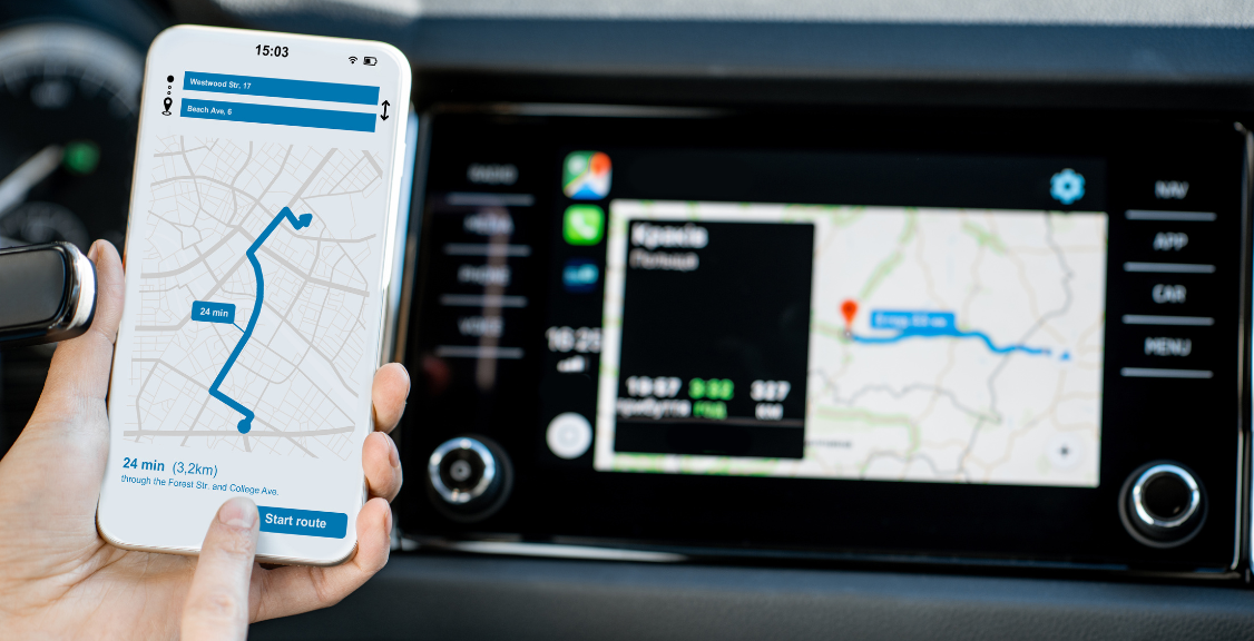
Connected GPS trackers are designed for remote visibility. They are widely used for fleet operations, vehicle security, asset monitoring, and personal-safety applications because they can send current positions and events to authorized users without requiring physical access to the device.
Advantages:
- Remote visibility: Authorized users can see current or recently reported locations in an app or dashboard.
- Alerts: The platform can notify users about geofence events, movement, speeding, tampering, or other configured conditions.
- Centralized history: Trips and events can be organized for reporting, dispatch, maintenance, or review.
- Fleet integration: Connected trackers may combine location with vehicle, driver, safety, or workflow data. This is one reason GPS is a core part of broader vehicle telematics systems.
Limitations:
- Coverage gaps: The tracker may stop reporting live data in areas without its supported network even while GPS positioning continues.
- Ongoing service costs: Cellular or satellite reporting and cloud access commonly require a subscription.
- Power use: Frequent position fixes and transmissions can reduce battery life. Hardwired units and battery-powered assets have different tradeoffs.
- Privacy and security: Location data requires appropriate authorization, account security, retention practices, and compliance with applicable laws and policies.
When connectivity returns, a store-and-forward device may fill in the missing route history. It cannot deliver alerts during the outage, however, and buffered data is not the same as uninterrupted live monitoring.
The Pros and Cons of Offline GPS Trackers
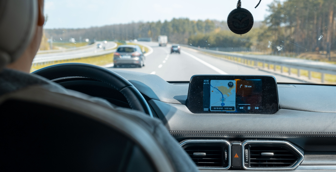
Offline GPS loggers are useful when the goal is to document a route or asset movement for later review rather than watch it remotely. They can continue recording where satellite signals are available even when cellular or Wi-Fi service is not.
Advantages:
- No wide-area data connection: The device can record positions without a cellular plan.
- Useful outside cellular coverage: Recording can continue in remote areas if the receiver has adequate satellite visibility.
- Potentially longer battery life: Avoiding frequent wide-area transmissions can reduce power use, although logging interval and hardware still matter.
- Local control: Data can remain on the device until an authorized user retrieves it.
Limitations:
- No independent remote view: Users cannot see the current position from somewhere else until the data is transferred through a supported method.
- No remote alerts while disconnected: A device may support local geofence logic, but it cannot notify a remote user without a communications path.
- Risk of losing unsynchronized data: If the logger is lost, stolen, or damaged, locally stored records may be unavailable.
- Manual workflow: Someone must retrieve, transfer, and review the records.
“Offline” should not be confused with “works everywhere.” The receiver still needs usable satellite signals, adequate power, and suitable antenna placement. A tunnel, underground garage, metal enclosure, or dense urban environment can interfere with positioning.
How to Choose the Right GPS Tracker
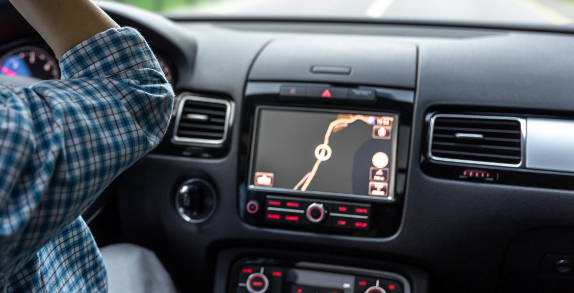
Start with the decision the tracking data must support. A fleet that needs dispatch visibility and exception alerts has different requirements from a researcher who needs a route log after fieldwork. Geosavi’s guide to the components required for GPS tracking can help define the complete system.
Compare these factors:
- Live or delayed access: Choose connected reporting when remote users need current locations, alerts, or dispatch information. Choose local logging when later review is sufficient.
- Coverage: Check the device’s supported communications network in the actual operating area. Do not use GPS coverage and cellular coverage as interchangeable terms.
- Outage behavior: Ask whether the tracker stores positions during a network loss, how much it can store, and how records are uploaded afterward.
- Update interval: Confirm how often the device calculates and reports positions. More frequent reporting can improve visibility but increase data and power use.
- Power source: Consider hardwired power, rechargeable batteries, replaceable batteries, sleep modes, and expected reporting frequency.
- Platform and data access: Review alerts, history, exports, integrations, retention, user permissions, and security controls.
- Total cost: Include hardware, activation, connectivity, platform subscriptions, installation, and replacement costs.
For remote operations, the right answer may be a cellular tracker with store-and-forward capability, a satellite-connected device, or an offline logger. The best choice depends on whether a delayed record is acceptable when communications are unavailable.
Choosing the Right GPS Tracker for Your Needs
A GPS tracker does not need internet access simply to calculate its location. It needs a communications path when that location must be delivered to another person or system remotely. Cellular data is the most common option for fleet and vehicle tracking, but offline storage, short-range transfer, and satellite communications serve different requirements.
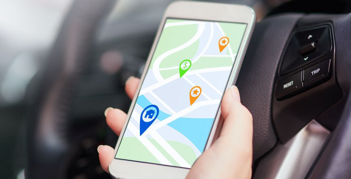
Before choosing a device, verify four things: how it calculates position, how it reports data, what it does during a coverage gap, and how long it can operate on its power source. Those details determine whether the tracker will provide live visibility, a delayed history, or both.
Find the Best GPS Tracker for Your Operation
Geosavi helps fleets compare connected GPS tracking, telematics, reporting, and alerting options. Explore Geosavi’s GPS tracking solutions or contact the team to discuss coverage, reporting intervals, integrations, and outage behavior for your vehicles and assets.