Key Takeaways
- A GPS tracker can report a vehicle or asset’s latest location, timestamp, movement, heading, and GPS-derived speed, depending on the device and reporting configuration.
- The tracking platform can turn location points into trip history, stops, routes, mileage estimates, geofence events, and alerts.
- Ignition status, odometer, fuel level, engine hours, and diagnostic information require compatible hardware and a supported vehicle-data connection; GPS alone does not provide every vehicle metric.
- “Real-time” means the latest reported data, not a continuous or delay-free view. Update intervals, cellular coverage, device power, and satellite reception affect freshness.
- Speed and behavior events are useful review signals, but they do not prove who was driving, why an event occurred, or whether a traffic violation happened without supporting context.
What Does a GPS Tracker Tell You About a Vehicle?
A GPS tracker can tell you where a vehicle or mobile asset was when it generated a location report, when that report was created, whether the device was moving, and often its direction and GPS-derived speed. A fleet platform can organize those reports into trips, stops, route history, mileage, geofence activity, and exception alerts.
The exact answer depends on the tracker, installation, reporting interval, cellular connection, platform configuration, vehicle compatibility, and any connected sensors. A basic battery-powered asset tracker may report periodic location and movement. A hardwired or OBD-connected vehicle tracker can report more frequently and may add ignition or supported vehicle data.
| Data type | What it can show | What it depends on |
|---|---|---|
| GPS/GNSS data | Latest location, timestamp, heading, movement, and GPS-derived speed | Satellite reception, receiver quality, installation, and device settings |
| Platform-derived data | Trips, stops, routes, dwell time, geofence events, and mileage estimates | Reporting frequency, platform rules, map data, and complete location history |
| Vehicle data | Ignition, odometer, engine hours, fuel level, VIN, or other supported values | Compatible hardware, cable, vehicle protocol, and available data |
| Optional sensors | Temperature, door state, equipment status, or nearby Bluetooth sensor readings | Compatible sensors, pairing, placement, and configuration |
| Driver identification | Which authorized driver is associated with a trip | RFID, Dallas ID, app login, key fob, or another identification process |
Latest Location, Timestamp, and Data Freshness
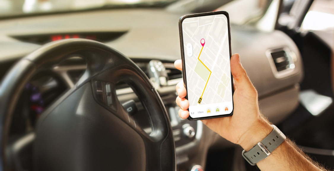
The most basic tracker record contains coordinates and a timestamp. The platform places that point on a map and may show the vehicle as moving, stopped, parked, or offline.
“Real-time GPS tracking” usually means the platform displays the latest report soon after the device sends it. It does not mean the map is perfectly continuous. The age of the displayed point matters as much as the point itself. A useful fleet view should show the report timestamp or data age so a dispatcher can distinguish a current location from an older last-known position.
Location freshness can be affected by:
- The configured update interval while moving and while stationary.
- Cellular coverage and network congestion.
- Satellite visibility near buildings, bridges, trees, indoors, or underground.
- Device power, battery-saving settings, or loss of external power.
- Whether the tracker buffers records and uploads them after connectivity returns.
The U.S. government’s GPS accuracy guidance explains that real-world accuracy depends on satellite geometry, signal blockage, atmospheric conditions, and receiver design. A map pin should therefore be treated as a measured position with known limitations, not an infallible statement of an exact parking space or street address.
Trip History, Routes, Stops, and Dwell Time
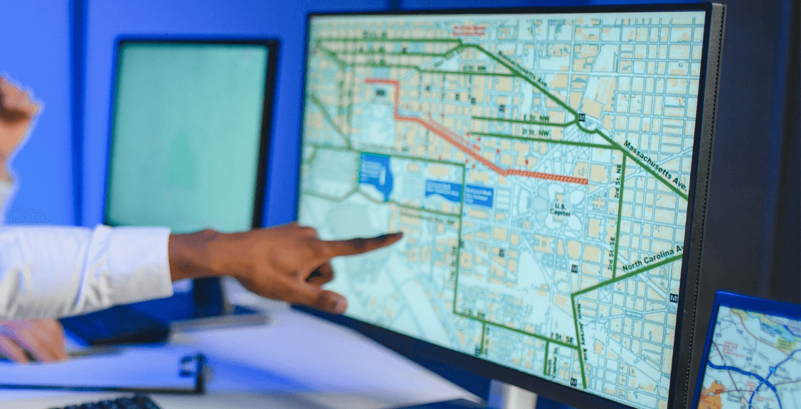
A tracking platform groups successive location records into a historical timeline. Depending on its rules, the system may show:
- Trip start and end times.
- Routes traveled and locations visited.
- Distance or mileage calculated from recorded points.
- Stops and the time spent at each stop.
- Departure and arrival times.
- Periods when the vehicle was moving, parked, or idling when ignition data is available.
Historical data is useful for answering operational questions: When did a service vehicle reach the job site? How long did it remain there? Which route did it take? Did the vehicle return to the yard? Which trips need review?
Trip and stop rules vary across platforms. A short traffic stop, lost signal, trailer movement, or device-power event can affect how a trip is segmented. Fleets should test these reports against known trips before using them for billing, payroll, maintenance, tax, or customer-dispute workflows.
Speed, Direction, and Movement
GPS position changes can be used to calculate speed and heading. These values help a fleet see whether an asset is moving, understand its direction of travel, and identify events that deserve review.
GPS-derived speed is not the same as a legal determination that a driver was speeding. A speed alert may also depend on the platform’s map and posted-speed-limit data, which can be outdated, incomplete, or incorrect for a road segment. The tracker’s update interval and signal quality also affect the record.
Use speed data with context:
- Review the event timestamp, location, duration, and surrounding points.
- Confirm the applicable posted limit and road conditions.
- Check whether the event is isolated or part of a repeated pattern.
- Use supporting vehicle or video data when available.
- Give the driver an opportunity to explain the event before drawing conclusions.
This approach makes GPS speed data useful for coaching and investigation without treating one automated flag as complete proof.
Geofences, Points of Interest, and Alerts
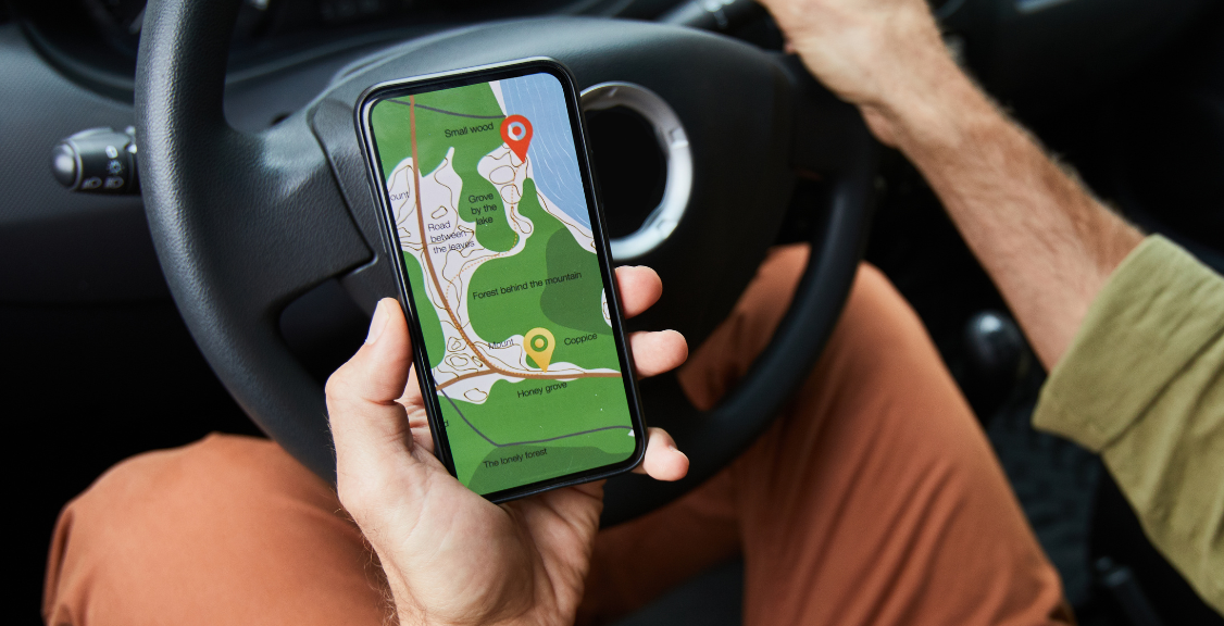
A geofence is a virtual boundary around a location or area. The platform can generate an event when a tracked vehicle or asset enters or leaves that boundary. A point of interest is usually a named location that makes maps and reports easier to read.
Common uses include:
- Confirming arrival at or departure from a customer or job site.
- Flagging movement outside scheduled hours.
- Monitoring a yard, warehouse, service area, or restricted zone.
- Tracking how long vehicles remain at recurring locations.
- Notifying dispatch when a vehicle reaches a milestone on a route.
A geofence alert shows that the reported position crossed a configured boundary. Its timing and accuracy depend on the boundary size, location update interval, GPS accuracy, and connection. Small geofences paired with infrequent reports may create late or missed alerts, so fleets should size and test zones for the actual device configuration.
Driver Behavior Events Need Context
Some trackers use motion sensors, GPS changes, vehicle data, or a combination of inputs to flag rapid acceleration, harsh braking, sudden direction changes, speeding, or idling. These events can help safety teams find patterns and prioritize coaching.
An event flag does not explain cause or assign responsibility by itself. Harsh braking could reflect aggressive driving, a vehicle cutting into the lane, road debris, a sensor threshold, or device placement. A vehicle-level tracker also does not identify the driver unless the fleet uses a reliable driver-identification method.
| Event | Useful follow-up |
|---|---|
| Harsh braking | Review location, timestamp, repeated events, road context, and any available video. |
| Rapid acceleration | Compare threshold settings, vehicle type, load, route, and driver pattern. |
| Sudden turn or direction change | Check tracker mounting, map location, maneuver context, and similar events. |
| Speed alert | Confirm data quality, applicable speed limit, duration, and surrounding records. |
| Idling | Verify ignition or engine data is available and distinguish operational idling from a stopped vehicle. |
For accountable driver-level reporting, connect trips to a named driver through RFID, Dallas ID, app authentication, or another controlled process. Geosavi’s GPS tracking platform supports driver identification and driving-style reporting when the appropriate hardware and workflow are configured.

Vehicle Data Beyond GPS Location
GPS coordinates alone do not reveal fuel level, engine hours, odometer, ignition, fault codes, or mechanical condition. Those values require a tracker or telematics device that can read supported vehicle data through an OBDII, J1939, or other compatible connection.
Available values vary by vehicle, model year, protocol, device, cable, and platform support. Even when a device advertises a field such as fuel level or odometer, confirm it can read that value from the specific vehicles in the fleet.
When supported, vehicle data can help with:
- Mileage-based maintenance reminders.
- Ignition-aware trip and idle reporting.
- Odometer and engine-hour visibility.
- Fuel-use review when paired with purchase records.
- Vehicle-status alerts and diagnostic workflows.
Ask the vendor to demonstrate the actual fields from a representative vehicle before a large deployment.
How Asset Tracking Differs From Vehicle Tracking
A powered vehicle tracker can use continuous vehicle power and report frequently. A trailer, container, generator, or piece of equipment may need a battery or solar tracker designed to conserve energy.
Asset trackers often emphasize:
- Periodic or movement-triggered location.
- Last-known position and report age.
- Movement, removal, tamper, or power alerts.
- Battery status and expected reporting life.
- Optional Bluetooth temperature, humidity, or door sensors.
A slower update schedule is not necessarily a defect for a stationary asset; it may be the setting that makes months of battery life possible. The right question is whether the reporting schedule matches the asset’s risk and operating pattern.
What a GPS Tracker Cannot Tell You by Itself
- Exact location at every moment: the system has discrete reports and may experience signal or network gaps.
- Who was driving: a vehicle tracker needs a separate driver-identification method.
- Why an event occurred: location and motion data show what the sensors recorded, not the full road context.
- Whether a law was violated: automated alerts require review against accurate rules and supporting evidence.
- Vehicle condition from GPS alone: mechanical and engine data require compatible connections and supported fields.
- Guaranteed theft recovery: tracking may assist a response, but device concealment, power, connectivity, and coordination with authorities matter.
- Guaranteed savings or safety improvement: results depend on policies, training, follow-up, and how the data is used.
Turn Tracking Data Into a Repeatable Workflow
- Define the question. Decide whether the fleet needs dispatch visibility, job-site confirmation, asset security, driver coaching, maintenance triggers, or another outcome.
- Choose the matching device. Compare hardwired, plug-in, battery, and solar hardware based on the vehicle or asset.
- Set a suitable reporting interval. Balance data freshness, cellular use, and battery life.
- Configure named locations and alerts. Use geofences and points of interest that reflect real operating locations.
- Validate the data. Compare known trips, stops, and events before relying on reports for business decisions.
- Control access and retention. Give data access only to people who need it and document how tracking data is used and retained.
- Review exceptions consistently. Use the same process for investigating alerts, adding context, and coaching drivers.
For a buying checklist covering update intervals, driver identification, reporting, integrations, and hardware options, see GPS Fleet Tracking Features: What to Look for Before You Buy.

The Bottom Line
A GPS tracker can provide valuable evidence about a vehicle or asset’s latest reported location, movement, trips, stops, route history, speed, and geofence activity. With compatible hardware, it may also add ignition, odometer, fuel, engine, or sensor data.
The most useful systems show when each record was reported, preserve history, identify gaps, and make it clear which values are measured, derived, or dependent on vehicle integration. That context lets fleet managers use the data for dispatch, security, coaching, maintenance, and reporting without overstating what one map point or automated alert proves.
Contact Geosavi to compare vehicle and asset trackers based on your equipment, reporting interval, sensor needs, and operating workflow.